
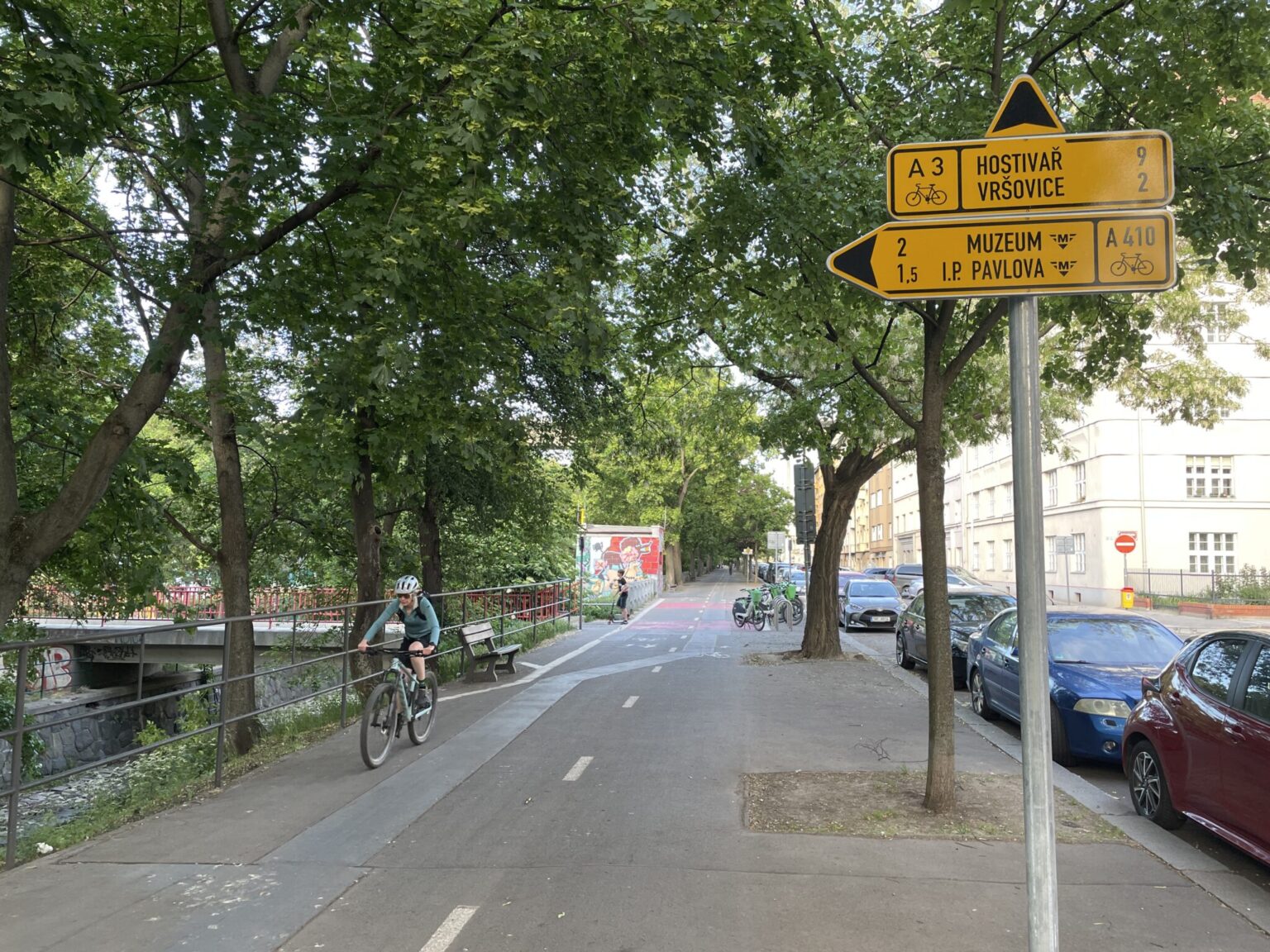
Earlier this summer, a comprehensive update to the cycle route signage in central Prague—specifically within the boundaries of the Prague Heritage Reserve—was completed. The updated signage reflects recent changes to cycling infrastructure in the city center while implementing routing in accordance with the current cycle master plan.
The request to update the directional signage came from the Technical Administration of Communications (TSK). The goal was to refresh the route signage (i.e., the yellow directional signs) so that marked cycle routes make use of newly built infrastructure and align with the master plan’s expectations—both in terms of routing and numbering. Put simply: to make the signage current and continuous.
Truth be told, citywide directional signage for cyclists in Prague had not been systematically updated in quite some time. As a result, many routes remained largely unchanged since the main signage boom of the 2000s and 2010s.
While some piecemeal updates were carried out on the initiative of local borough councils or in specific locations—often tied to individual construction projects—many new cycling infrastructure projects were completed without adding or updating directional signage. Systematic changes were limited to specific routes. For instance, signage on the primary A2 route was updated comprehensively in 2018, while other updates occurred with a certain infamous level of complexity during the controversy over pedestrian zone access restrictions in Prague 1.
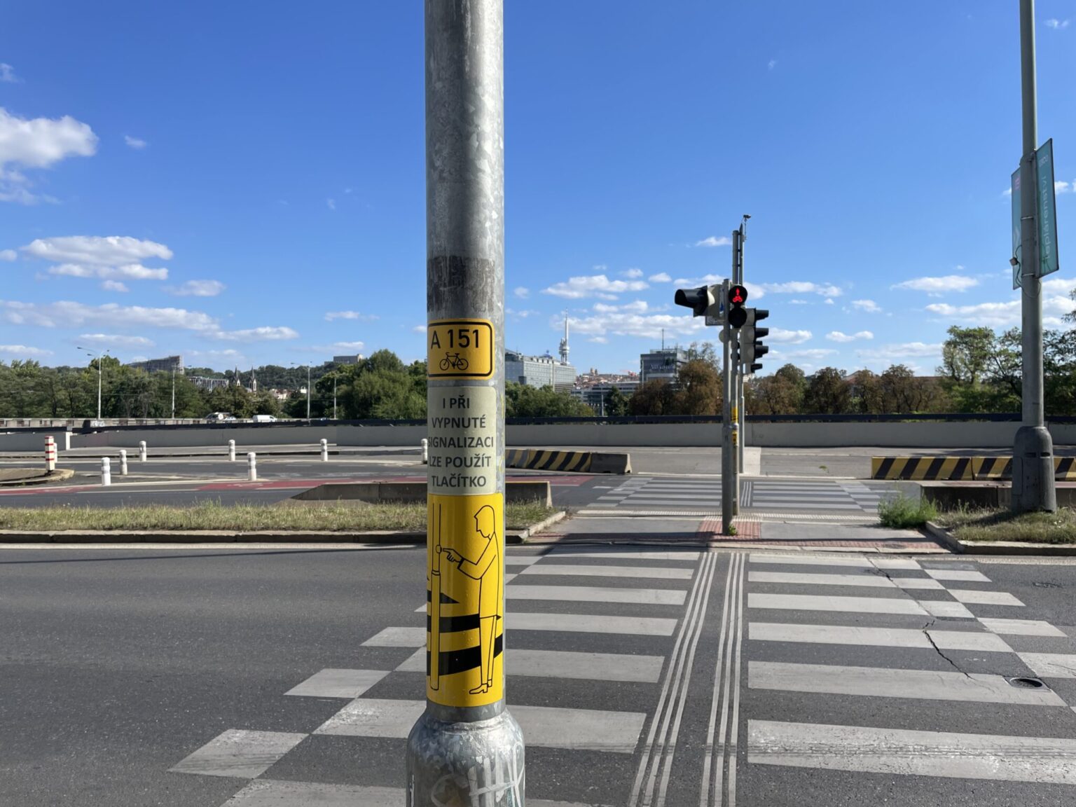
While out-of-date signage posed little issue for people riding their regular daily routes, it presented significant navigation challenges for cyclists traveling through unfamiliar areas. The clear demand for change was also reflected in „guerrilla“ signage, which started popping up across central Prague via stickers in recent years.
The editorial team at Městem na kole (MNK) obtained the complete project documentation from TSK. Let’s take a look at the most prominent changes. (Editor’s note: The update was designed for TSK by Ing. Vratislav Filler, a member of the MNK editorial team. However, he was not involved in preparing or editing this article.)
The update did not cover all of Prague, but—as noted—focused on a relatively small area defined by the Prague Heritage Reserve. Furthermore, not all existing signs were replaced; functional signs were left in place. The project was strictly an update of existing signage, meaning routes that are not currently marked on the ground were not added.
Consequently, large areas like Karlov and Nové Město still lack directional signage, as does Malá Strana outside of the primary routes along the Vltava River. Logical connections linking existing routes into a cohesive network were, however, added. It was not merely a blind update executed without considering the broader operational context of the network.
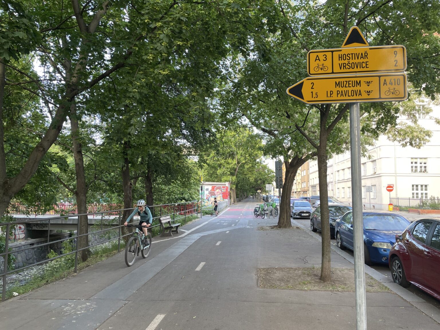
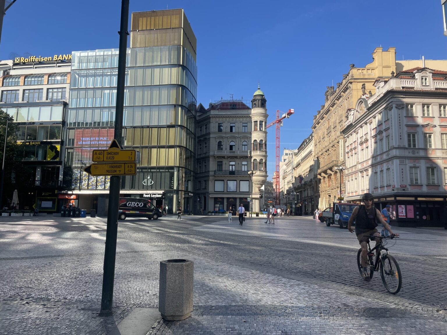
Nevertheless, Prague gained a few „new“ routes thanks to updated numbering. Most notably along the Botič stream in Nusle, primary cycle route A3 is now officially signed. Alongside routes A1 and A2, this is one of the first instances where the newly introduced primary route numbering system has physically appeared on the street (though not strictly the first—see, for example, route A0 near Vinoř). Additionally, route A40 was signed along the entire inner ring of the historic city walls.
Of course, there are more changes. For example, the historic BŘ-LE route (Břevnov – Letná) was re-designated as route A32. Beyond updated numbering, key sections now feature signage tailored to new infrastructure.
Primary route A1 has been completely rerouted on directional signs to use the underpass beneath Mánes Bridge, built three years ago. This is a prime example of a location where anyone unfamiliar with the area would easily miss the underpass without proper signage and end up stuck in heavy traffic at the Klárov intersection.
Aside from the signage itself, perhaps the most interesting aspect of the project is the minor accompanying traffic organization changes aimed at resolving problem spots on existing routes.
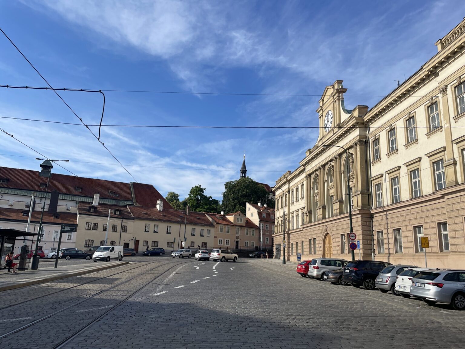
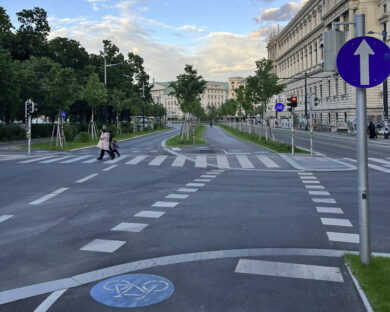
A short counterflow bike lane was added at Pohořelec near Kepler High School, which had long prevented cyclists from turning into the existing counterflow lane there. Another notable detail is the addition of a dedicated left-turn lane for cyclists on route A32 heading toward Petřín at the same location. This gives cyclists a clearly defined waiting area when turning across an otherwise expansive intersection.
A long-standing issue regarding access through the parking lot in front of the Ministry of Agriculture at Těšnov was also resolved as part of signing route A410—a topic we covered in detail in a standalone article.
Designating the sidewalk along the ministry building as a shared path up to the driveway barrier isn’t the prettiest solution, but given that none of the involved parties were willing to compromise on alternative options (such as moving/rebuilding the connecting driveway at the top of the parking lot or removing a single parking spot), it represents the only currently feasible way to make the route legal to ride.
As mentioned earlier, many locations were left out. These either require more complex structural interventions or involved paths outside current routes that would require entirely new signage systems. However, the project’s designer identified several such spots and recommended them for future implementation. Examples include renewing painted pavement symbols indicating legal passage through Petřín (Strahov Gardens) or adding signage in the Karlov and Nové Město areas.
It should also be noted that while the designer identified and addressed several problem spots beyond the original scope of updating directional signage, some locations were still missed. For instance, a „No Entry“ sign remains on route A309 at the approach to Letná from Edvard Beneš Embankment. Several small oversights like this can still be found, highlighting that traffic organization in Prague isn’t always designed with cycling in mind—even along existing routes.
Cycle route signage in the Prague Heritage Reserve has undergone a comprehensive refresh, which in certain locations required follow-up adjustments to general traffic organization. The scale of changes needed in such a compact area demonstrates that directional signage naturally grows outdated over time. If it is to remain useful, it requires regular maintenance and attention.
This article was published with financial support from the City of Prague as part of the „Městem na kole 2026–2027“ project. The project provides ongoing coverage of new cycling infrastructure in Prague.

This is an adjusted machine translation using Gemini of this article: https://mestemnakole.cz/2026/07/znaceni-cyklotras-v-centru-prahy-dostalo-komplexni-facelift/
Líbil se Vám článek? Chcete v Česku lepší podmínky pro cyklodopravu?
Podpořte nás, stačí i 100 korun. 💙🚲
Vyberte prosím částku, poté budete přesmerováni na darujme.cz







komentář